- This event has passed.
Planners’ Briefing for Puget Sound Parcel-Scale Sea Level Rise Vulnerability Assessment
April 18, 2025 @ 10:00 am - 11:00 am
Planners’ Briefing for Puget Sound Parcel-Scale
Sea Level Rise Vulnerability Assessment
Friday, April 18, 2025, 10-11 am
This webinar will be held on Zoom
Attendees of this webinar will:
-
Learn about the Puget Sound Parcel-Scale Sea Level Rise Vulnerability Assessment project.
-
Provide feedback on how this information could inform your work.
-
Learn how you can get involved in the project through future workshop and feedback opportunities.
Assessing the vulnerability of coastal jurisdictions and Tribes to impacts exacerbated by sea level rise (SLR) is of growing importance, and is likely to be emphasized in new rules expected under Washington’s Shoreline Management Act. Vulnerability assessment couples hazard exposure information with the spatial distribution and relative value of community assets and their sensitivity to those hazards and provides better insights about areas that are most at risk due to SLR-driven hazards. A careful and comprehensive assessment of SLR-driven vulnerability, therefore, can lead to more-nuanced planning and decision-making and support more equitable distributions of resources and investment intended to reduce vulnerability.
The intent of this webinar is to introduce a project funded by the Habitat Strategic Initiative Lead that will improve upon a spatial analysis of SLR vulnerability initially developed between 2020-2023 that is intended to inform land use, ecological restoration, and hazard planning in Puget Sound. The assessment will re-calculate an SLR vulnerability index for every parcel within an SLR hazard zone, based both on the configuration of infrastructure and coastal habitats within the study area.
Webinar logistics:
-
This webinar is free to attend. Register here: https://washington.zoom.us/meeting/register/wB3DYHHXSkiKTWX998Zt6Q
-
For those who are unable to attend, we will share a recording of the presentation on the SCPG website.
-
If you cannot attend but would like to be involved in future feedback opportunities for this project, please contact Ian Miller at immiller@uw.edu.
-
1 AICP CM credit will be offered for this webinar.
-
Contact Sydney Fishman at sfishma@uw.edu with any questions.
The following speakers will be presenting at the webinar:


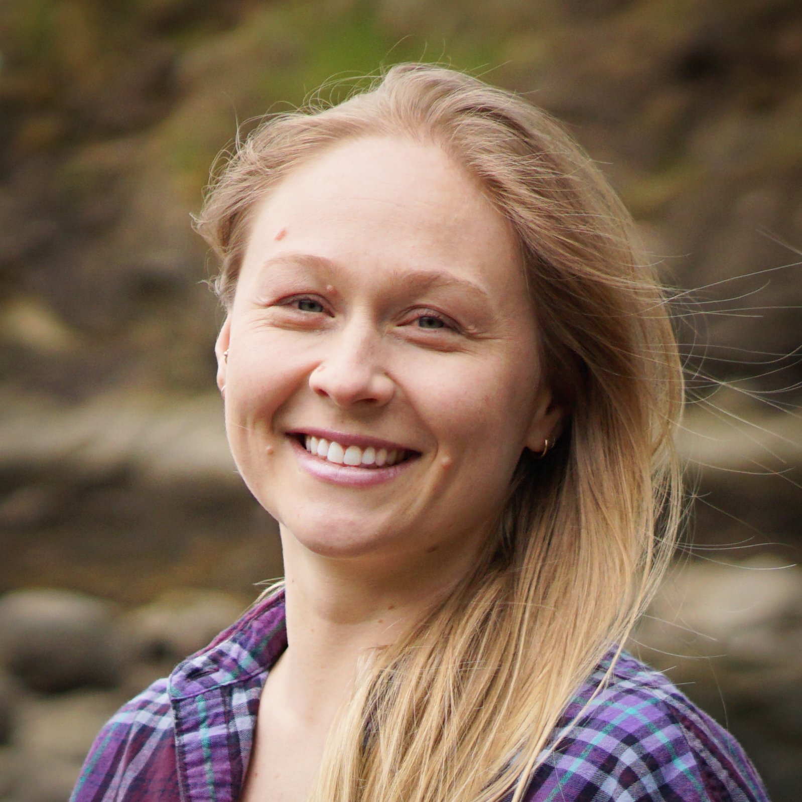
Avery Maverick is a licensed geologist in the state of Washington. She has a Bachelor of Science degree in Geology from University of Oregon and a Master’s in coastal geology from Western Washington University. Avery’s research focuses on coastal processes and implications for shoreline change using remote sensing, structure-from-motion, and modeling. Avery applies these skills to coastal restoration and applied coastal management at CGS. She performs geospatial analysis, modeling, works on assessing vulnerability to sea level rise, and contributes to developing adaptation strategies for specific sites. She is passionate about coastal processes and protecting shorelines here in the Salish Sea.